
Details
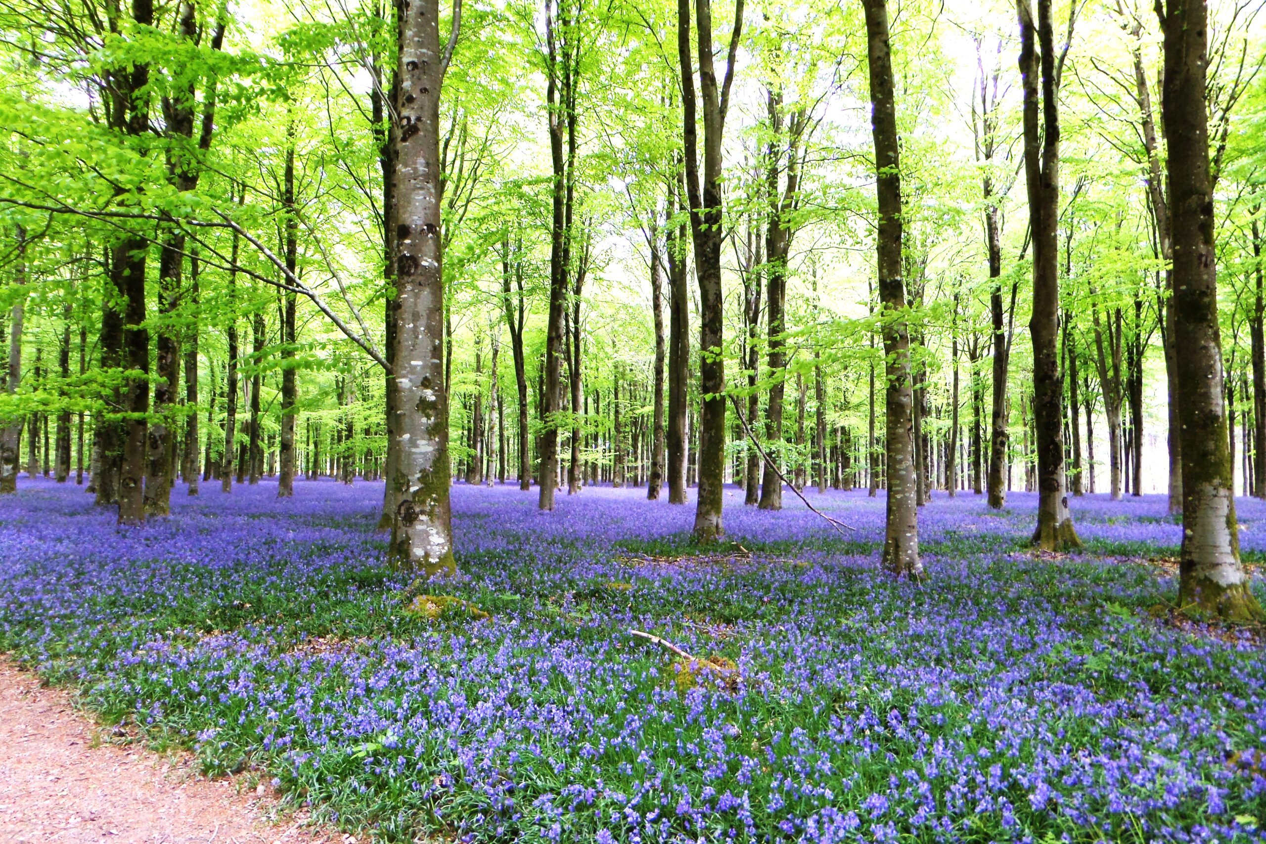
A circular walk from the village of Ashmore, through Ashmore Wood and Harbin’s Park to Tarrant Gunville and returning through Stubhampton and Ashmore Bottom.
Difficulty:
Moderate
Start / Finish
The village pond in the centre of Ashmore.
Map of the route “Ashmore, Tarrant Gunville & Stubhampton – W34”: 16,391 m. It is a loop that starts and ends at 50.95982, -2.12554 (latitude, longitude).